QGIS–MapGIS symbol conversion
Interoperability tooling during a backend internship
Jul – Aug 2024
A C# symbol-table conversion tool connecting QGIS and MapGIS, developed during my Zhongdi Digital Technology internship.
ROLE
Backend development intern
APPROACH
C# · QGIS · MapGIS
Research question
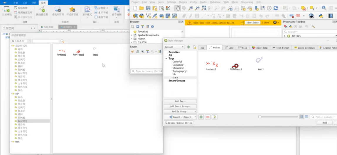
A map style contains layered geometry, visual properties, and placement rules. Transferring it between GIS platforms requires translating that structure into the target system’s symbol model. During my Zhongdi internship, I developed C# tooling for QGIS-to-MapGIS symbol conversion.
My contribution
- Developed conversion paths for marker, line, and fill symbols, organizing layer-specific behavior within a shared conversion framework.
- Worked with font, SVG, raster, ellipse, and simple marker layers, alongside line and fill representations.
- Refactored symbol-class relationships and separated reusable transformations for color, size, angle, position, and anchoring.
Technical approach
- Read source symbol definitions into QGIS-side objects, dispatch by symbol and layer type, and construct the corresponding MapGIS objects.
- Handle compound symbols through layer-by-layer conversion so individual visual properties can be mapped consistently.
- Use dedicated property-conversion components to organize unit, geometry, and visual-style mappings across symbol types.
Results & outcomes
- Delivered a C# conversion workflow covering point, line, and polygon symbol structures, supported by reusable property transformations.
- The internship combined object-oriented refactoring with cross-platform data translation, turning a format-conversion task into a structured interoperability tool.